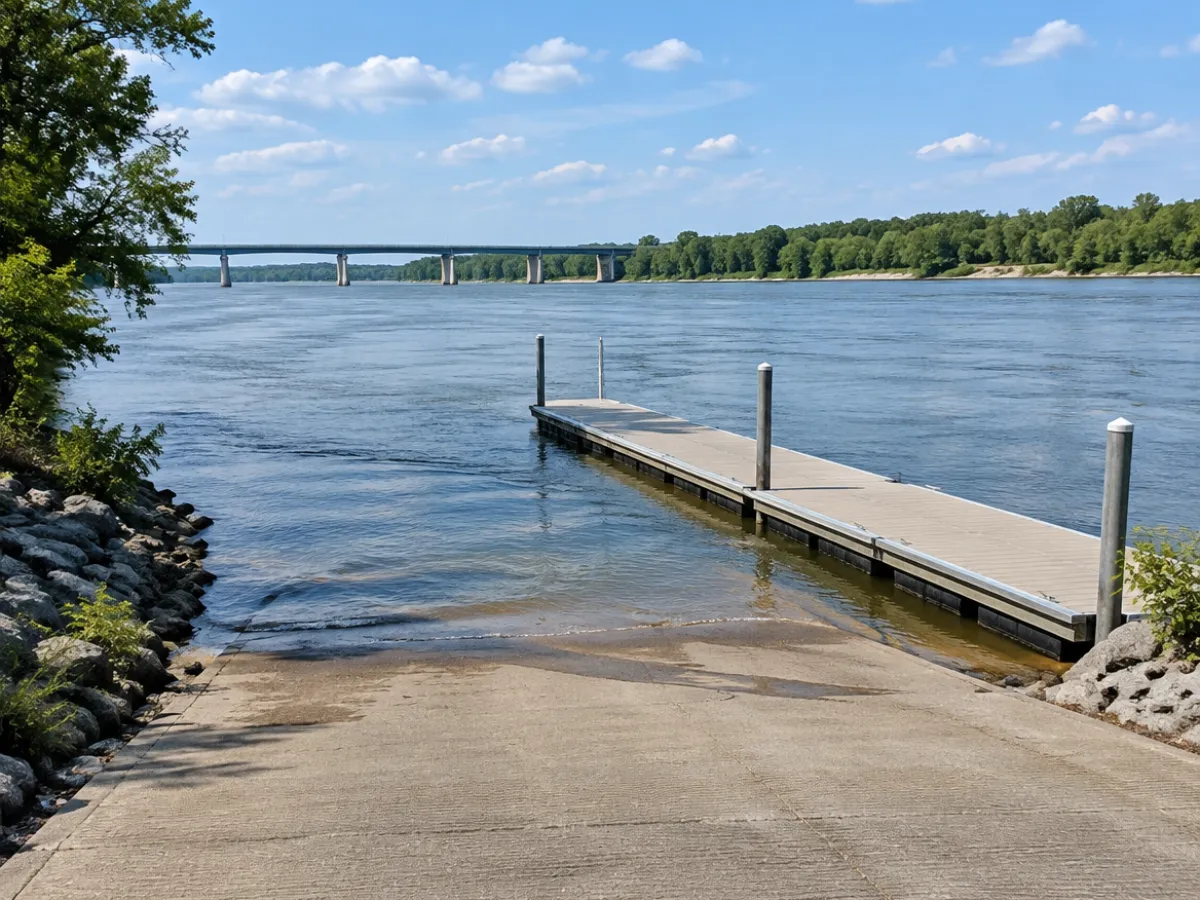
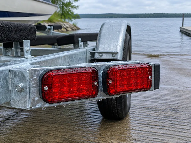
About Shoal River Wayside Park Boat Ramp
How do I get to Shoal River Wayside Park Boat Ramp?
Shoal River Wayside Park Boat Ramp is in Niceville, Florida. We only have the map location of Shoal River Wayside Park Boat Ramp from OpenStreetMap, and the directions link goes straight to it.
Which lake or river does Shoal River Wayside Park Boat Ramp access?
It gives you access to Shoal River.
Does it cost money to launch at Shoal River Wayside Park Boat Ramp?
The map data has no fee details for Shoal River Wayside Park Boat Ramp, so check the signs or the agency that runs it before you go.
Can paddlers use Shoal River Wayside Park Boat Ramp?
Paddlers can usually use Shoal River Wayside Park Boat Ramp. Carry the boat to the edge of the ramp or the dock end. The nearest dedicated kayak launch is RedRock Landing in Point Baker, about 20 miles away.
What other boat launches are near Shoal River Wayside Park Boat Ramp?
Turkey Creek Park Boat Ramp in Valparaiso (12 miles), Timber Lake in Fort Walton Beach (15 miles) and Blackwater River State Park Boat Ramp in Point Baker (18 miles).
 Boat Ramps Nearby