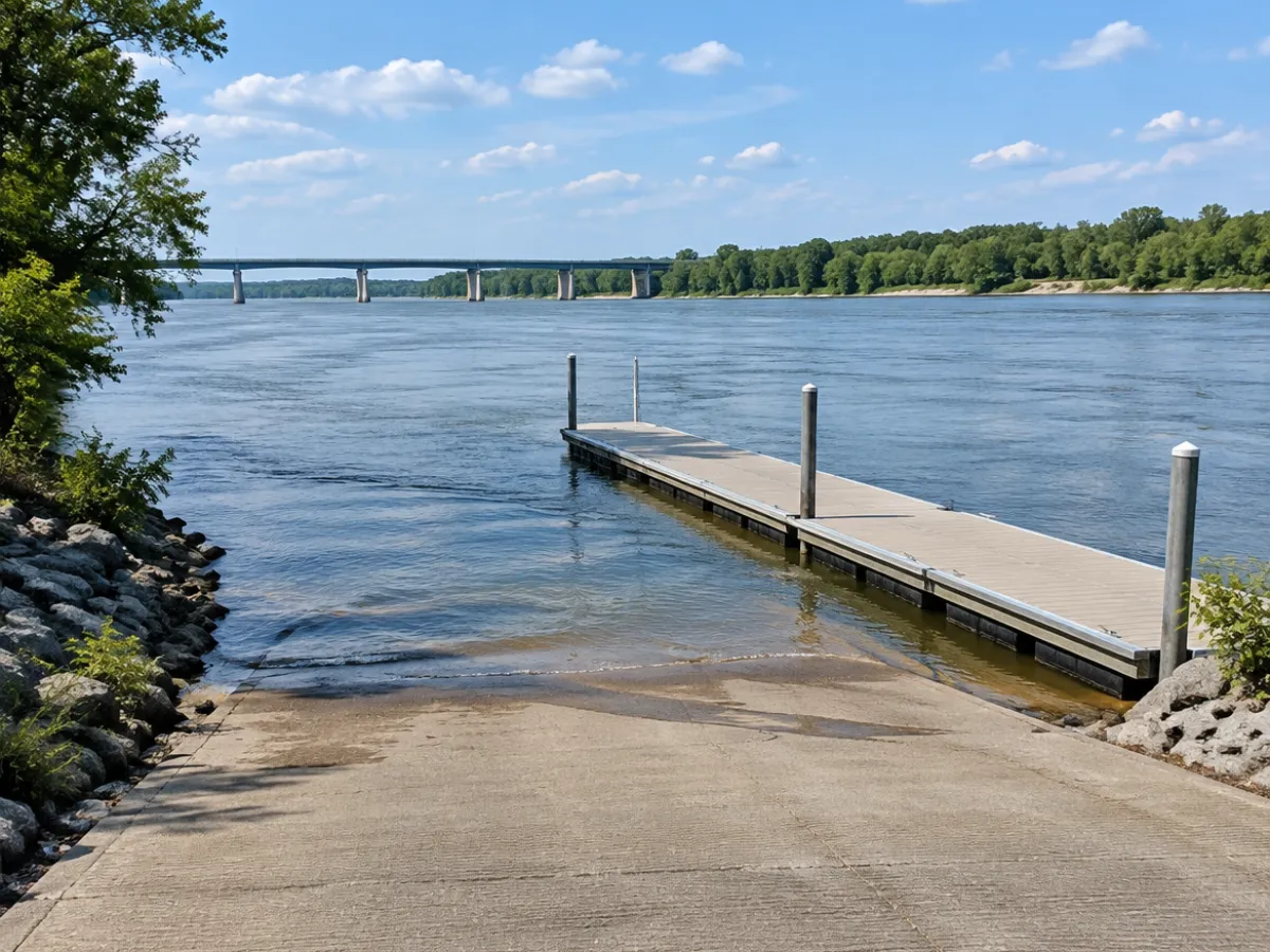
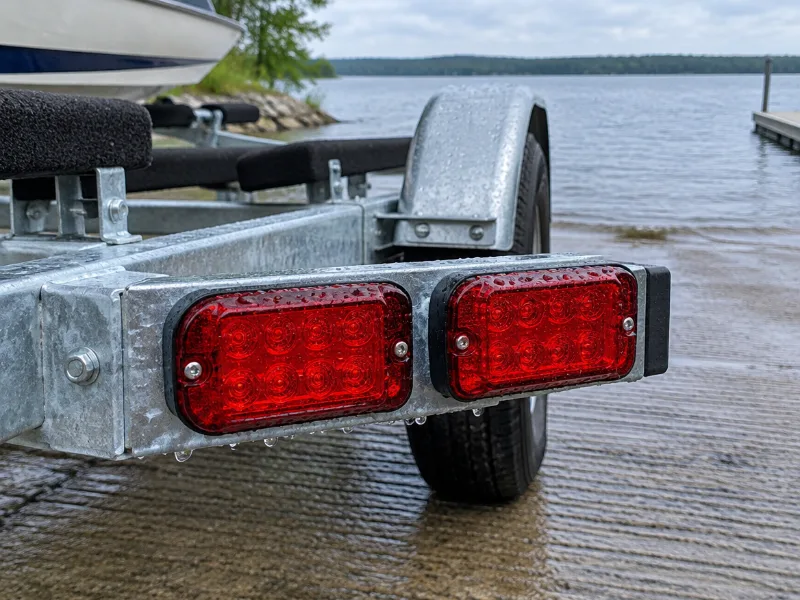
About Missouri Department of Conservation Boat Ramp (East)
How do I get to Missouri Department of Conservation Boat Ramp (East)?
Missouri Department of Conservation Boat Ramp (East) is in Mound City, Missouri. We only have the map location of Missouri Department of Conservation Boat Ramp (East) from OpenStreetMap, and the directions link goes straight to it.
Which lake or river does Missouri Department of Conservation Boat Ramp (East) access?
It gives you access to Nodaway River.
Is Missouri Department of Conservation Boat Ramp (East) free?
Missouri Department of Conservation Boat Ramp (East) is marked as free in the map data, though rules can change, so look at the signs when you arrive.
Can I launch a kayak at Missouri Department of Conservation Boat Ramp (East)?
Yes. Paddlers use Missouri Department of Conservation Boat Ramp (East) as well, ideally from the edge of the ramp.
Who runs Missouri Department of Conservation Boat Ramp (East)?
The map data names Missouri Department of Conservation as the operator of Missouri Department of Conservation Boat Ramp (East).
What other boat launches are near Missouri Department of Conservation Boat Ramp (East)?
Missouri Department of Conservation Boat Ramp (East 2) in Mound City (2.2 miles) and Big Lake Boat Ramp in Mound City (16 miles).
 Boat Ramps Nearby